


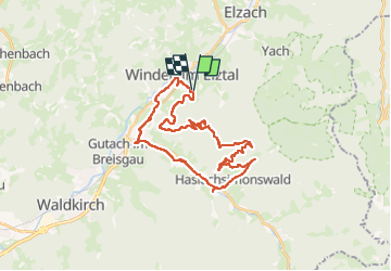

13,4 km | 24 km-effort


Utilisateur


Application GPS de randonnée GRATUITE
 SityTrail
IGN / Instituts géographiques
SityTrail World
Le monde est à vous
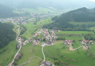
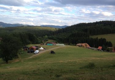
Randonnée Vélo électrique de 32 km à découvrir à Bade-Wurtemberg, Landkreis Emmendingen, Winden im Elztal. Cette randonnée est proposée par apa.
panoramique


A pied
A pied
A pied
A pied
A pied
A pied

A pied
A pied

V.T.T.